How can the flat map of Earth adequately represent it when it is spherical? A cosmologist and his colleagues suggest flattening Earth into two pancakes, one representing the Northern Hemisphere and the other the Southern, with the equator running around the perimeter.
Astrophysicist J. Richard Gott, the lead researcher and an emeritus professor of astrophysics at Princeton University, together with his colleagues wrote in an article in Scientific American that they created these two pancakes to represent the most accurate map of Earth ever created. Unlike existing flat maps, it does not reduce or supersize certain seas or landmasses.
Rating 2D Maps
Gott said in a statement via a press release that it is possible to hold the pancake-like map on one's palm, and can be printed front-and-back on a single magazine page so readers could readily cut it out. But before they developed their flat map of Earth, Gott, and his co-researcher David Goldberg developed a mechanism to rate flat maps and shared their findings in 2007.
According to their study published in Catographica, they graded 2D maps based on six forms of geometric distortion: local shapes, areas, distances, flexion or curvature distortions, skewness or lopsidedness, and border cuts.
Maps with the lower grade were more accurate, but well-designed globes that are spherical like Earth would receive zero points. On the other hand, Gott said that a flat map is not perfect as it can be good at one thing and bad at depicting other things. For example, the Mercator projection used for Google Maps is good at representing local shapes but distorts surface areas near the polar regions.
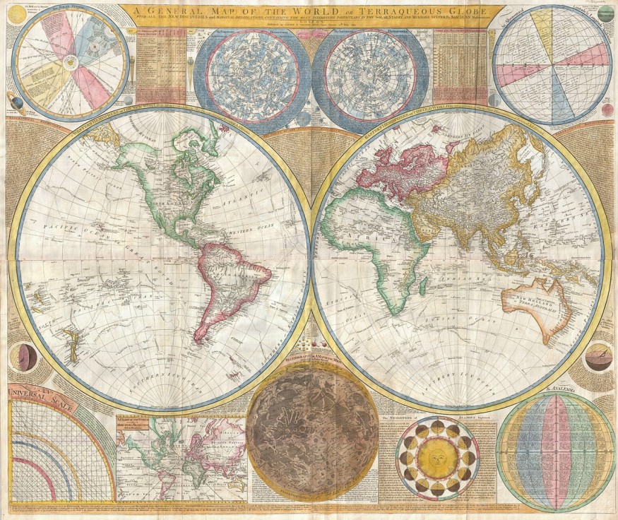
Based on the team's rating system, Winkel Tripel is the top-rated flat map. It is a map from 1921 created by German cartographer Oswald Winkel and is now being used by the National Geographic Society. It had a low score of 4.563 with a "boundary cut" problem because it splits the Pacific Ocean in half, creating an illusion that Asia and Hawaii are far apart.
The Birth of Pancake Maps
To address the boundary-splitting problem in Winkel Tripel, the team tried to create a flat map with the least problems possible. The final product was a pancake map inspired by their previous research on polyhedra or many-sided 3D forms, Live Science reported.
It was proposed by American architect Richard Buckminster Fuller who developed the outlines of regular patterns that comprised a global map and published instructions for folding it into a polyhedral globe. An example of this is Narukawa's AuthaGraph World Map, which won the grand prize in Japan's biggest design competition. It retains the proportions of the continents and oceans it can be folded into a 3D globe.
Meanwhile, Gott's 2019 study on envelope polyhedra involves gluing together regular shapes back-to-back. Through this, the team came up with the idea of a double-sided circular map.
The new map was published in February 2021 to the arXiv database, revealing two pancake maps that do not have any boundary cuts and can be viewed either side-to-side or back-to-back. Gott explained that the map shows continuity over the equator and that Africa and South America are draped over the edge but still continuous.
#NEWS Astrophysicists create the most accurate 'flat map' of Earth ever: https://t.co/KCdpNQ8nvN
— All About Space (@spaceanswers) February 25, 2021
📸 J. Richard Gott, Robert Vanderbei and David Goldberg
🚀Get All About Space for as little as £2.20/$2.20/€2.20 https://t.co/na6oVrCVUj pic.twitter.com/XwHBUBMylO
More so, it has smaller distance errors than 2D flat maps. For instance, its distances cannot be over or less than 22.2% in reality but the Mercator and Winkel Tripel projects have high distance errors in the polar regions and on the left and right edges of the map. Researchers also noted that the equatorial edge of the map is only 1.57 times larger than the areas in the center.
Gott said that there is no other double-sided pancake map of Earth. It is more like a globe but without the globe distortion issue. The team has also created pancake-like maps of other cosmic bodies, like Mars, Jupiter, and the Sun.
RELATED ARTICLE: New Interactive Map of the Universe Allows People To Scroll Through the Cosmos to the 'Edge of What Can Be Seen'
Check out more news and information on Map in Science Times.
© 2026 ScienceTimes.com All rights reserved. Do not reproduce without permission. The window to the world of Science Times.


