Earthquakes are usually thought of as sudden, violent events that occur over a matter of seconds. However, energy can also be released from the crusts in slow motion over weeks or months. These are known as slow slip events, which occur when tectonic plates temporarily lock together as one tries to slide past the other.
What is a Slow Slip Event?
Slow slip events (SSE) refer to long-lived shear slip events at subduction interfaces. These thrust-sense displacement episodes, which can have durations of up to several weeks, generate slow earthquakes.
SSE slips faster than the plate speed but slower than an earthquake. Seismometers cannot detect them due to the long rise time and the slow rupture velocity. Instead, scientists use the Global Positioning System to measure these movements.
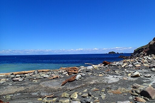
New Zealand lies at the boundary of the Australian and Pacific plates, known for producing slow-motion earthquakes. Scientists believe many slow slip earthquakes are related to buried water under the Earth's crust, but there is no direct geological evidence for an underground reservoir at this site.
READ ALSO : Earthquake Prediction May Finally Be Possible; GPS Data Offers Way of Detecting Underground Tremors
Explaining the Mysterious Slow Earthquakes
Experts from the University of Texas Institute for Geophysics, GNS Science in New Zealand, and Japan's Agency for Marine-Earth Science and Technology searched for why slow slip events happen more often at some faults than others. They conducted a study based on seismic cruises and scientific ocean drilling.
The research team discovered a sea's worth of water locked within the rock and sediment of a lost volcanic plateau, now deep in the Earth's crust. As revealed by a 3D seismic image, the water is located two miles under the ocean floor off the coast of New Zealand, where it may be dampening a major earthquake fault that could threaten the country's North Island.
The location of the buried water was formed 125 million years ago at a time when a vast plume of lava erupted from the surface of the Earth. After drilling into the volcanic rock, the researchers discovered that water made up almost half of its volume. According to lead author Andrew Gase from Western Washington University, they cannot yet see deep enough to precisely determine the effect of the undersea water reservoir on the fault, but they observed that the amount of buried water is much higher than normal.
Normal ocean crust should contain much less water once it gets to be about 7 or 10 million years old. Surprisingly, the rock in this area is more than ten times older and still holds this water volume. Gase and his colleagues believe that the shallow seas above the eruption eroded at the flanks of the volcanoes, turning them into porous material that can store water. Over time, these rocks became clay, which locked away even more liquid.
The team is hopeful that their findings can help improve the current understanding of slow slip events and support scientists in their ability to predict large-scale earthquakes in the future. Gase also calls for deeper drilling to find out where the water ends so they can determine its possible effects on the pressure around the fault.
RELATED ARTICLE : Giant Hole at the Bottom of the Ocean Is Leaking Strange Liquid That May Indicate a Disaster
Check out more news and information on Earthquake in Science Times.
© 2026 ScienceTimes.com All rights reserved. Do not reproduce without permission. The window to the world of Science Times.


