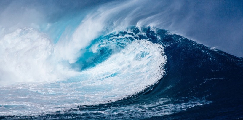
A novel risk assessment method for tsunamis in New Zealand has discovered that massive waves could hit the country every 580 years.
Assessing Tsunami Risks in New Zealand
As part of the new study, researchers made use of a novel method of looking into simulated earthquakes in order to determine the potential tsunami risks in the North and South Islands of New Zealand. The researchers discovered that the biggest waves may strike along the North Island's northeastern coasts. This is due to the Hikurangi subduction zone, which is where the tectonic plate of the Pacific dives below the Australian tectonic plate.
Lara Hughes, the study's first author and a doctoral student from Victoria University of Wellington, explains that the timespan between the happening of the earthquakes and the hitting of the tsunami waves is really short.
Due to New Zealand's closeness to subduction zones, which could lead to massive earthquakes that generate tsunamis, it is crucial to know the risks posed by these waves.
According to geophysicist Martha Savage from the university, who is also an author of the study, earlier efforts made use of historical quakes in order to know more about impending risk. However, these records only go as far as the last 150 years. While geological studies can look into older quake evidence, these records remain incomplete.
ALSO READ: How To Survive a Tsunami? Here's What to Do During Life-Threatening Enormous Ocean Waves
Synthetic Earthquake Assessment
In the new study, the researchers made use of synthetic earthquakes, which involve computer models that they added everything they knew to. This data covered the physics and geometry of fault systems, such as fault locations and frictions. The researchers then simulated up to tens of thousands of years of earthquakes to try to assess the frequency of major ones.
Savage explains that the assessment method is not perfect as fault systems are not fully known and understood. However, it does align with geological and historical records.
Hughes explains that they were able to include different properties that they believe to exist and get the potential earthquake and tsunami range.
As part of the study "A Novel Method to Determine Probabilistic Tsunami Hazard Using a Physics-Based Synthetic Earthquake Catalog: A New Zealand Case Study," the researchers made a catalog comprising 30,000 simulated years focusing on the fault systems that surround New Zealand.
Findings revealed a total of 2,585 earthquakes with magnitudes ranging from 7.0 to 9.25.
The novel model argues that the Hikuragi subduction zone is the most dangerous tsunami quake source close to the country. However, the Tonga-Kermadec subduction zone in the North Island may also lead to massive quakes that cause tsunamis quite further from the coasts.
The findings regarding how tsunami hazards were due to shallower and smaller faults known as crustal faults rather than actual subduction faults came as a surprise to the researchers.
The researchers also discovered that the tsunami's maximum height was 92 feet. This could result from an earthquake with a magnitude of 9.13, roughly 634 kilometers northeast of Auckland. For reference. Japan's Tohoku tsunami in 2011 reached 130 feet in height.
Hughes explains that tsunamis that exceed one meter in height trigger evacuations on land, adding that smaller waves could lead to port or harbor damage.
The researchers also note that though this marks the first time the synthetic quake assessment method has been used for a tsunami study, the same could be done for other areas around the world that are at risk. The study did not consider distant quakes surrounding the Pacific, which could lead to massive tsunami waves that resonate around the whole ocean.
RELATED ARTICLE: Climate Change Increases Tsunami Height and Risks: Research Tackles Future Monitoring and Modeling
Check out more news and information on Environment & Climate in Science Times.


