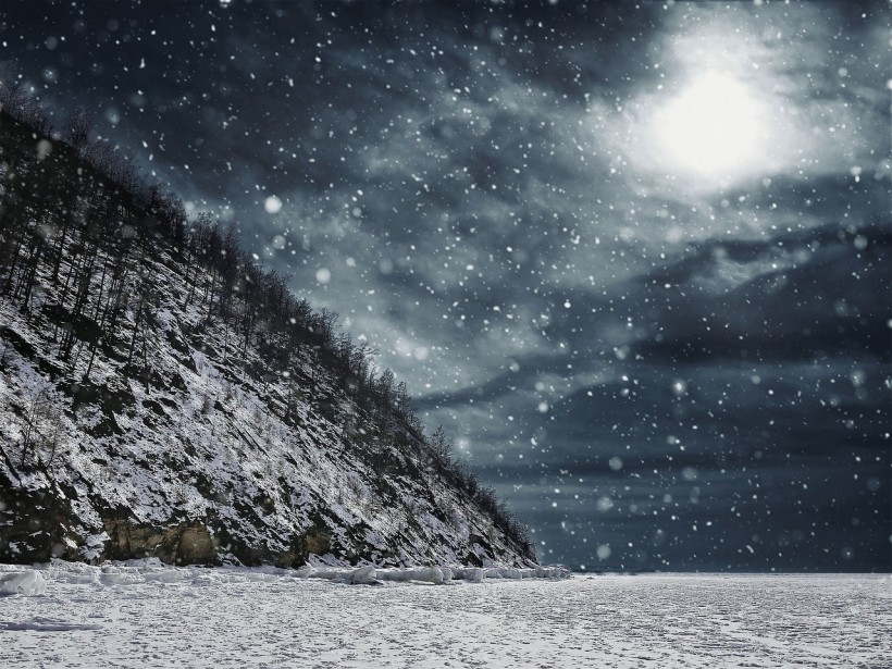
During winter and late fall, a phenomenon known as lake effect snow is quite common.
Lake Effect Snow Explained
This phenomenon takes place when cold air that typically comes from Canada moves through the Great Lakes' open waters. As cold air moves through the Great Lakes' unfrozen and relatively warm waters, the moisture and warmth get transferred to the atmosphere's lowest portion.
The air then rises, clouds form and become a narrow band called a streamer. The orientation and length of the streamer could vary depending on the body of water's shape and the direction and speed of wind.
In certain cases that are extreme, the heaviest snowfall bands could have a width of 40 kilometers and stretch over 100 kilometers inland from the lake region.
The snowfall rates within the streamer can go beyond 15 centimeters per hour. If the wind stays steady, a snow band can hover over a specific area for several hours. This could result in snow that is a meter or more.
ALSO READ: Pink Snow Warning: Here's How This 'Cute' Phenomenon Would Harm Water Supply
Which Areas Does Late Effect Snow Impact?
The exact areas that lake effect snow could affect largely depends on the direction of the wind. It is possible for heavy snow to be falling in a certain region, while the sun could be brightly shining over an area just one to two miles away.
The land's physical geography and the water are also crucial. These are the factors considered by the National Weather Service when forecasting the phenomenon.
With the right wind and air mass conditions, the phenomenon can take place anytime during late fall and winter as long as the lake's surface remains unfrozen. A lake that is frozen does not produce significant lake effect snow as such a kind of surface could lower the temperature differential for the air mass, lake, and available moisture.
As it is remarkably usual for the Great Lakes to become fully ice-covered at any point of winter, there is a chance for lake effect snow to hit the region all throughout winter.
Lake Effect Snow vs. Blizzards
Lake effect snow is different from a blizzard. The latter is a severe weather condition that is marked by heavy snow, strong winds, and low temperatures. On the other hand, lake effect snow comes to be when cold air moves through a body of warmer water. It picks up moisture and leads to conditions that are fit for snowfall.
Though both phenomena are capable of leading to huge snow amounts, they starkly vary from each other in a number of ways. For one, the scale of blizzards tends to be larger compared to lake effect snow. Blizzards also usually last longer, up to several days. On the other hand, lake effect snowstorms usually last for one to two days.
Moreover, blizzards are also typically disrupted more due to low visibility and high winds, while lake effect snows are less disruptive and could even have times where the skies are clear.
RELATED ARTICLE: Why Is Snow White? Understanding the Role of Snowflake Pattern in Reflection of Light
Check out more news and information on Environment & Climate in Science Times.


![Earth's Quasi-Moon Kamo‘oalewa Could Originate From Lunar Surface Not Asteroid Belt [Study]](https://1721181113.rsc.cdn77.org/data/thumbs/full/53275/89/56/50/40/earths-quasi-moon-kamo-oalewa-could-originate-from-lunar-surface-not-asteroid-belt-study.png)


