According to experts, massive floods could turn California's lowlands into a vast inland sea. They believe climate change is increasing the likelihood of these catastrophic disasters, causing them to occur every 25 to 50 years.
Research About Possible Megaflood in California
According to Daniel Swain, a UCLA climate scientist and study participant, a megaflood is a very severe flood event across a broad region that can potentially cause catastrophic impacts on society in the areas affected.
A recent study published in Science Advances found that the likelihood of a catastrophic flood occurring in California within the next 40 years has already increased twofold. Experts said it would be unlike anything anyone alive today has ever seen.
Atmospheric rivers could begin to run consecutively for weeks on end. The Central Valley of California, including Sacramento, Fresno, and Bakersfield, would be the most devastated, according to the study's authors. The Central Valley, roughly the size of Vermont and Massachusetts combined, produces one-quarter of the nation's food supply, according to the US Geological Survey.
A flood the size of this valley has the potential to be the most expensive geophysical disaster to date, costing upwards of US$1 trillion in losses and wreaking havoc on the lowland areas, including Orange counties and Los Angeles.
That is more than five times the cost of Hurricane Katrina, the most expensive natural disaster in American history. Hurricane Katrina cost US$182.5, which is currently the most expensive disaster in the US, Statista reported.
The study concluded that in modern California, such a flood event would almost certainly outweigh the damage from a large magnitude earthquake by a significant margin.
The consequences of a potential megaflood event in California are being researched in three parts, the first of which is this study. The next two phases are scheduled to be released within the next two to three years.
Swan stated that one of their goals is to assist California in preparing for these events rather than simply understanding them scientifically. The question is when, not if, the megaflood will occur.

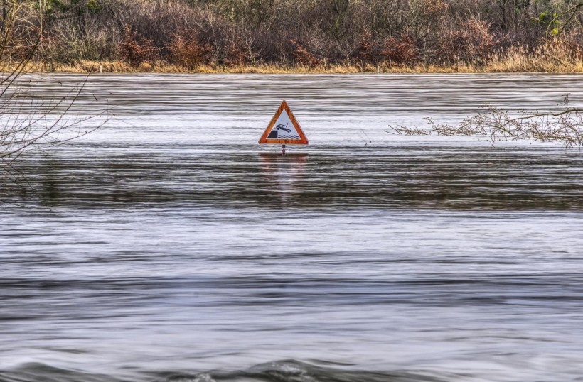
Flooding Danger Sign
ALSO READ: From Drought To Flood, California Swings Between Extreme Weathers
Why California Is Highly at Risk of Megaflooding
During the cool season, the likelihood of week-long, recurring strong-to-extreme atmospheric rivers increases rapidly, according to the new study. An atmospheric river is a long, narrow region of heavy moisture in the atmosphere that, like a fire hose in the sky, can transport moisture thousands of miles. They typically bring beneficial rainfall to drought-prone areas such as California, but they could quickly become dangerous with a warming climate.
These winter atmospheric rivers have historically dumped feet of snow in the Sierra Nevada, but as the climate warms, more snow will fall as rain. Instead of slowly melting over time, it all runs off, piles up, and floods all at once.
Because of its mountainous terrain and wildfire risk, California is especially vulnerable to flooding. Wildfire burn scars can form a steep, slick surface onto which water and debris can flow. Wildfires are becoming larger and burning more land due to climate change, making more areas vulnerable to debris flows.
Although models predict that this megaflood will occur, experts say there are ways to reduce the amount of damage.
RELATED ARTICLE: California Town Sinks 2 Feet Per Year; Here's Why Corcoran Slowly Turns Into Sinkhole
Check out more news and information on Environment in Science Times.


