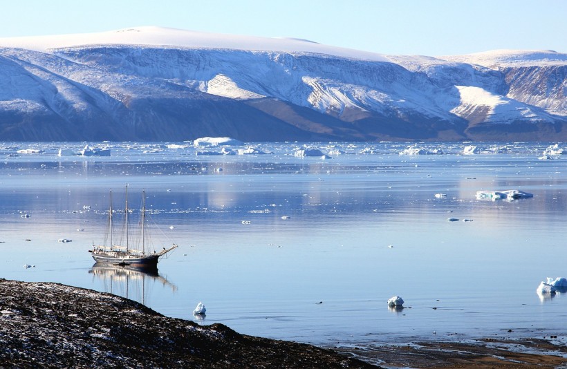
Greenland is one of the primary meltwater sources of flooding on Earth's shores. Interestingly, it has been found to be rising faster than rising oceans.
Greenland Is Rising
The bedrock of elevation is slowly birthing new land in the sea of Greenland, including tiny skerries and islands, such as Uunartoq Qeqetaq, which translates to "warming island." This new landmass, which spans 13 kilometers, off Greenland's east coast was recognized officially and included in the maps of Greenland in 2005.
Shfaqat Abbas Khan, a geodesist from the Technical University of Denmark, explains that the land uplift observed in Greenland cannot be singularly explained by the natural development of the post-ice age, adding that Greenland is significantly rising more.
The findings were noted in the "Vertical Land Motion Due To Present-Day Ice Loss From Greenland's and Canada's Peripheral Glaciers" study.
Land Uplift
The colleagues of geodesist Danjal Longfors Berg, who is also from the Technical University of Denmark, discovered that in the past decade, the bedrock of Greenland has gone up by 20 centimeters. This rate is equivalent to two meters per century.
Khan explains that, with the GNET data they have, they are able to accurately isolate the land uplift part that is caused by current changes in global climate.
The glaciers surrounding the periphery of Greenland account for just 4% of the ice cover of the island. However, they are responsible for nearly 15% of its ice loss. Apparently, this decrease also significantly contributes to the uplift of the land mass.
Mass loss from glaciers in the outer area is leading to a more significant rise in some areas compared to the loss of the main ice sheet of Greenland. This is because of a process known as elastic rebound. In this case, the previously compressed earth relaxes into an expanded shape that is more natural.
Southeast Greenland's Kangerlussuaq glacier helped with the largest measured uplift, which is equivalent to eight millimeters each year.
Though earlier studies considered the process because of the main ice sheet's loss, it is only now that the peripheral ice has been fully considered to this extent. Gaining a more comprehensive understanding of the land uplift could enable scientists to come up with more accurate estimates pertaining to sea level rises.
Berg explains that these are vital land uplifts that can now be demonstrated. They imply changes within Greenland that are rapidly taking place and affecting life therein.
The unusual phenomenon is another addition to the list of global physical reshapes brought about by climate change. Other earlier examples include the shifting of the axis of the Earth and the shrinking of a full atmospheric layer.
RELATED ARTICLE: Melting Ice Due to Climate Change Could Cause Underwater Landslides, Tidal Waves in Greenland
Check out more news and information on Environment & Climate in Science Times.


