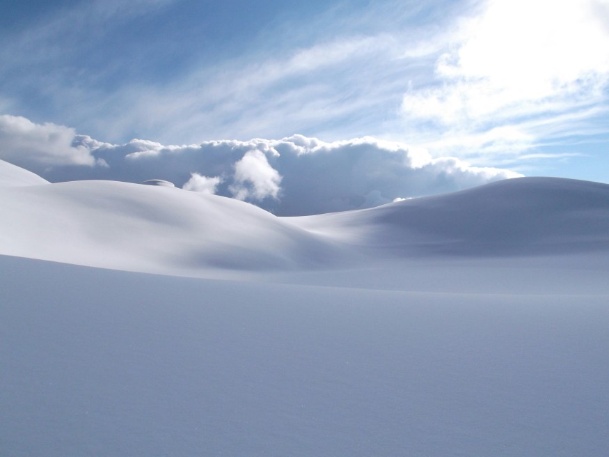
Snowstorms captivate with cascading white blankets, yet their formation is a complex interplay of temperature, moisture, and atmospheric dynamics. Snow cloud formation occurs when supercooled droplets attach to microscopic particles, growing ice crystals snowfall that eventually descends. Cloud physics snow and precipitation science winter explain how dendritic branching, riming, and convective lifting shape flakes that pile meters deep during nor'easters and blizzards.
Forecasting heavy snow depends on understanding vapor diffusion, updrafts, and supersaturation within clouds, as well as the interactions between warm and cold fronts. Moisture transported aloft cools adiabatically, fueling rapid crystal growth. These processes, repeating over millions of droplets, produce flakes varying in shape and mass, providing the foundation for snowstorm intensity, distribution, and duration. Mastery of these cloud processes informs winter storm predictions and hazard preparation.
Snow Cloud Formation: Bergeron Process Basics
Snow cloud formation relies on the Bergeron-Findeisen mechanism, where ice nuclei trigger growth in supercooled clouds. Dust, soot, or clay particles act as seeds around -10°C, while surrounding droplets shrink as water vapor preferentially deposits onto forming crystals. Supercooled droplets (-5°C to -20°C) coexist with ice nuclei, creating a delicate balance between liquid and solid phases that drives rapid crystal growth.
- Vapor diffusion: Water vapor moves from shrinking supercooled droplets onto the ice nuclei, forming hexagonal prisms. The crystal lattice expands as molecules align with the hexagonal pattern.
- Accretion and riming: Droplets that collide with growing crystals freeze on contact, adding mass and complexity to the flakes. Multiple collisions produce dendrites, columns, or needles depending on temperature and supersaturation.
- Updraft sustenance: Strong updrafts hold the flakes aloft for 30+ minutes, allowing them to grow beyond 2g per flake before gravity overcomes lift. Extended suspension encourages aggregation with other crystals, forming snowflakes visible at the ground.
- Aggregation dynamics: Crystals stick together when humidity is high, creating complex flakes that determine snowfall density and accumulation rates. Wind shear and turbulence can also influence flake shape and descent speed.
These processes explain how microscopic ice particles in supercooled clouds combine, grow, and eventually fall as the snowflakes that blanket winter landscapes. The Bergeron process not only determines flake size but also affects precipitation intensity, storm duration, and the overall dynamics of winter weather systems.
Ice Crystals Snowfall Growth Mechanisms
Ice crystal snowfall evolves according to humidity, temperature bands, and supersaturation levels. Cloud physics snow governs how Mullins-Sekerka instabilities amplify tiny bumps into branches, producing the classic six-armed dendrites often observed.
- Plate crystals dominate low supersaturation zones (-12°C to -16°C).
- Needles and columns extend vertically in colder, dry air.
- Rimed dendrites form in wet flows as supercooled droplets freeze on contact.
- Flake aggregation near 0°C multiplies mass, accelerating snowfall rates.
The shape, size, and stickiness of these flakes ultimately dictate accumulation and snow density, influencing everything from road safety to avalanche potential.
Cloud Physics Snow: Heavy Precipitation Dynamics
Cloud physics snow intensifies under convective lifting that carries moisture 5 km above the surface. Precipitation science winter identifies seeder-feeder interactions, where upper nimbostratus clouds seed lower layers, generating heavy snow or sleet.
- Moisture flux exceeding 300 kg/m² fuels extreme rates.
- Weak updrafts (<1 m/s) promote flake fallout and accumulation.
- Temperature profiles preserve aggregated ice, reducing sublimation.
- Lake-effect and orographic lift focus snow bands, producing localized bursts exceeding 1 m/hour.
January 2026 nor'easters demonstrated these dynamics, yielding totals exceeding 100 cm over stalled frontal zones.
Measuring and Predicting Snow Cloud Formation
Advanced meteorology employs radar and satellite sensing to monitor snow cloud formation. Bright band detection identifies 0°C zones where riming is maximal, and dual-polarization radar differentiates aggregates from needles.
- GFS moisture convergence predicts dendritic growth areas.
- Ensemble soundings estimate supersaturation and flake development windows.
- Surface observations confirm snowfall intensity against radar.
- Forecast models integrate updraft strength, humidity, and temperature profiles.
Predictive accuracy relies on combining cloud physics snow data with precipitation science winter metrics, allowing meteorologists to issue reliable snowfall warnings.
Unlocking the Science of Snowstorm Formation
Grasping snow cloud formation, ice crystals snowfall, cloud physics snow, and precipitation science winter enables understanding of winter storm mechanics. Recognizing how supercooled droplets, updrafts, and aggregation interact allows meteorologists to predict storm intensity, snowfall totals, and blizzard impacts.
This knowledge informs not only public safety but also infrastructure planning and transportation management during extreme winter events. Advances in radar, satellite imagery, and modeling continue to refine forecasting, providing clearer warnings and preparedness strategies.
Frequently Asked Questions
1. What causes snow cloud formation?
Snow cloud formation begins when supercooled water droplets attach to dust or ice nuclei. These droplets freeze into ice crystals that grow through vapor diffusion. Updrafts keep them aloft until they reach sufficient mass. Falling snow occurs once these crystals aggregate and the updraft weakens.
2. How do ice crystals form snowfall?
Ice crystals develop through the Bergeron process in clouds containing supercooled droplets. Vapor preferentially deposits onto ice rather than liquid water. This leads to hexagonal lattice growth. Dendritic branching creates the snowflakes we see on the ground.
3. What is the role of cloud physics in heavy snow?
Cloud physics dictates flake growth, aggregation, and the density of snow. Factors like temperature, humidity, and updraft strength shape precipitation. Riming and dendritic branching increase flake mass. These processes determine snowfall rate and accumulation patterns.
4. How is snowfall predicted scientifically?
Meteorologists use radar, satellite, and numerical models to forecast snowfall. Bright band radar identifies optimal riming zones. Ensemble soundings estimate temperature and supersaturation profiles. Combining these tools improves prediction of heavy snow and storm impact.
© 2026 ScienceTimes.com All rights reserved. Do not reproduce without permission. The window to the world of Science Times.


