While the Earth has a distinct formation of continents today, this was not always the case.
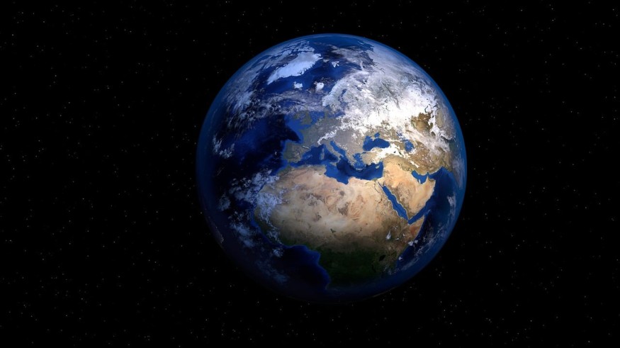
Ancient Earth Globe Interactive Map
Science Alert reports that the Earth's land masses were once locked together and formed supercontinents. However, they later cracked and separated from each other. Throughout the planet's history of 4.5 billion years, these formations have also interacted at some points.
The Ancient Earth Globe interactive map reveals the splitting and reforming of these continents in the last 750 million years. It also sheds light on the recession and advancements of the oceans, as reported by MailOnline. The map also offers various tools that enable non-specialists to know more about the Earth. It features details such as where the first flower bloom took place and where the habitats of the first reptiles were.
Users of the web app can move to and from the first hominid appearance to dinosaur extinction, among other features. Users may also provide their location on the map. The feature then links it to plate tectonic models and enables users to see the location of countries a long time ago.
For instance, users can examine where the US, UK, Europe, Australia, China, and other countries were situated back during the dinosaur period.
The default timeline of the map is 240 million years ago, which is the Middle Triassic time. However, users have the freedom to choose their own dates from a menu.
The map combines data from Gplates, an open-source geoscience database, with paleogeographic maps that were made under the PALEOMAPS project. More specifically, it was constructed as a web application that grounds over another map that makes use of geological models that Christopher Scotese, a paleographer and geologist, made before. Such geological models detail plate tectonic development as far as 750 million years ago.
ALSO READ : Pancake-Like Map of Earth Is the Most Accurate Picture of the World Yet; How Is This Better Than the Globe?
Revealing Earth's Dynamic Nature in a Simple Way
Ian Webster, the map's designer, explains that the interactive map reveals the dynamic and changing nature of the environment, as reported by CNN.
The web-based map demonstrates interesting and intricate scientific data in a manner that is interactive and easy-to-use. Because of this, professors, teachers, and anyone else who is interested can learn through the interactive map. Mr. Webster specifically made the map with the goal of it being a convenient educational tool to help the younger ones know more about the Earth in a fun and interactive way.
Mr. Webster adds that it is quite hard to visualize the Earth's previous appearance. Hence, consolidating this data into a familiar and easy-to-use format may go a long way for education.
RELATED ARTICLE : Pioneering AI Technique Accurately Recognizes Earth's Natural Features in Detail for Better Environmental Maps
Check out more news and information on Geology in Science Times.
© 2026 ScienceTimes.com All rights reserved. Do not reproduce without permission. The window to the world of Science Times.


