In his TEDx talk last July, Dr. Chris Fisher likened the climate crisis to a classic movie, "If the Earth is Titanic, we have struck the iceberg. Everyone is on deck, and the orchestra is playing," he said.
True enough, the Earth is changing at an incredible pace. As global temperatures rise and deforestation becomes rampant, the race against time becomes evident.
The faster the sea levels rise, and the quicker our forests burn, the less time there is to study Earth as we know it. Human activities accelerating climate change endanger both our ecological and cultural heritage. Cultural sites and ecological landscapes that currently exist may not survive the rapid change.
These reasons—prompted by Dr. Chris Fisher, along with his colleague Dr. Steve Leisz—spearhead an extraordinary scientific effort to document the entire surface of our planet before climate change deems it too late. Their project is called The Earth Archive.
The Earth Archive aims to use LiDAR (light detection and ranging) in scanning the whole surface of the Earth, starting with high-risk areas like the Amazon and coastal areas that are in danger of being submerged underwater due to the rising sea levels. Colorado State University's Center for Archaeology and Remote Sensing (CARS) serves as the host for The Earth Archive.
The project has a three-fold purpose.
First, the creation of a baseline record of the Earth as it exists today. This record will be used to evaluate changes our planet is currently undergoing and the current efforts to mitigate the climate crisis.
Second, the creation of an enormous amount of data enough to create a virtual planet. The said data will be an open-source compilation of LiDAR scans from all over the world and will be accessible to scientists of both the present and the future.
Third, to preserve a record of the planet so that the generations to come can reconstruct the lost heritage in the future. Deeper into the future, the directors of The Earth Archive believe that the LiDAR scans to be collected will be critically important.
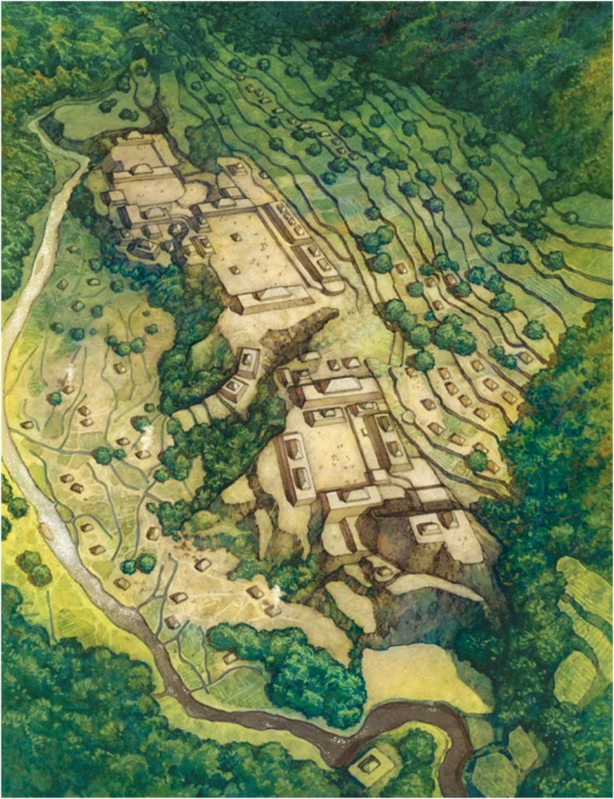
LiDAR, a remote sensing method that records three-dimensional data about the shape and characteristics of the Earth's surface, will be used to achieve the three end goals stated above.
In a plane or helicopter bearing a specialized GPS receiver, a scanner and laser flies above the area of interest and shoots out light in the form of a pulsed laser to measure variable distances to the surface. Integrating these variables with calibration data, scan angles and data from the specialized GPS will result in a dense, detail-rich cloud of points. Afterwards, the cloud of points will be processed and interpreted to create visual output.
The project received mixed opinions from others operating in the same field.
The first challenge, according to critics, is the funding. The project is estimated to last decades and will require a tremendous amount of funding. In fact, Fisher reported that scanning the Amazon for the next three years will require about $12 million.
Moreover, logistical problems like getting permission to fly over some restricted regions could also arise. The geopolitical dynamics at play could potentially hinder the completion of the project.
Regardless, Fisher remains optimistic by saying that The Earth Archive will be "the ultimate gift" to future generations.
© 2026 ScienceTimes.com All rights reserved. Do not reproduce without permission. The window to the world of Science Times.


