As satellite options grow and change, you'll probably start to see more information coming from people with information from satellites. This can be an amazing opportunity because it can mean that you'll be able to see new and exciting conclusions.
You may never have thought of comparing animal migration to human commuting, but with the vast information available on both, there are actually some interesting similarities to note. Think about these juxtapositions next time you wonder about the usefulness of high-quality satellite imagery.
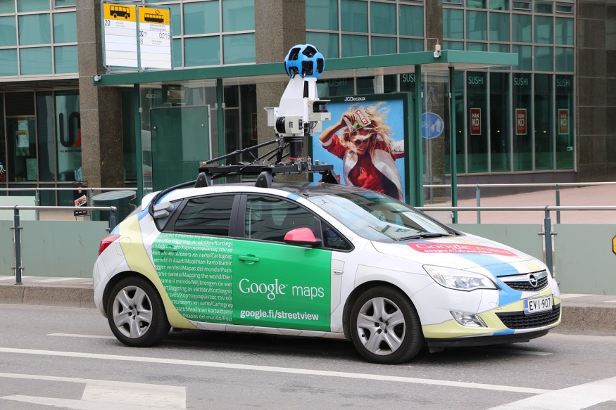
How Does Google Maps Determine Traffic?
Google Maps uses a variety of tools to figure out how much traffic is in a given area at any particular time. Here are some of the things it takes into account.
- The Number of People in an Area
Obviously, Google Maps does notice how many people are signed into Google Maps and in a specific place at any point in time. If Google notices a substantial number of people in one area, it's more likely that it'll indicate there's a traffic jam in the area.
- Typical Traffic Patterns
Have you ever wondered why Google is so good at knowing how long it'll take you to get from one place to another, even though traffic conditions may change during your trip? It's because Google collects information on historic traffic patterns, then projects those patterns onto your current commute.
- Reports From the Area
If there's a major car crash or blockage on a road, people will talk about it. Whether it's the local news, the local police station, or even users letting Google know directly, information will get back to Google. It keeps an eye on all these sources and updates accordingly.
- Satellite Imaging
Another thing Google uses is real-time satellite imaging. If it sees something strange in the satellite imaging, it's more likely to look into that. From there, the company can determine whether the blockage is likely to continue, and if so, for how long.
How Do Satellites Track Animal Migration?
What about animal migration? Conservationists and scientists are always tracking animal migration and trying to determine how it'll change in the future. Here are a few ways they do it.
- Current Known Habitats
Where do the animals live right now? This is sometimes the easiest information to get because it often doesn't require satellite imaging. Many scientists dedicate their lives to studying this information, which means there's a lot of it out there.
- Potential Future Habitats
With changing climates and other things playing into the way animals migrate, many conservationists have also started to consider potential future habitats for animals as well. If an animal's native habitat no longer suits them, they might move elsewhere.
- Current and Planned Infrastructure
The economy's impact on the environment can't be overstated. Even putting aside its impact on climate change, the way that companies build infrastructure has a very significant impact on the way animals move, and researchers take that into account as well.
What Are Some of the Similarities?
In some ways, you could probably say that a human's commute is a bit like a day-to-day migration. Here are some of the ways in which these conclusions are similar.
- Projections
When mapping animal migration and human commute, people have to project into the future. That means understanding a lot about how the world might change on both a day-to-day and year-to-year basis.
- Multiple Information Sources
You can't just use one source of information to make a claim. You have to take into account a huge variety of resources, all of which have to give you bits of information that match up against the others. This can be difficult, but it's also necessary.
- A Top-Down View
Satellite imaging provides an interesting form of information here because it gives companies and researchers a top-down view of the world. That makes it easier to see changes in the way the world's structure exists, whether they're small or large.
How Can Satellite Information Help With Future Similar Projects?
Satellite information is always growing and changing. After all, as the world changes, so does the information you can see from space. That's just one reason satellite information can be so helpful in mapping a variety of concepts. Whether you're trying to understand more about the yearly migration paths of animals or the daily migration paths of humans, satellite imaging plays an increasingly important role in that. Maintaining the highest-quality satellite imagery, like that available through Worldview 3, will become even more important in the coming years.
© 2026 ScienceTimes.com All rights reserved. Do not reproduce without permission. The window to the world of Science Times.


