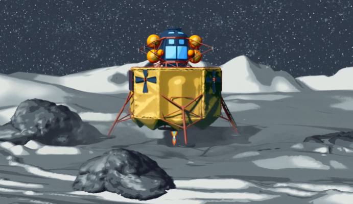
NASA has developed a set of technologies under its SPLICE project that will allow its future spacecraft to avoid boulders and craters in its identified safe landing site.
The technologies in its Safe and Precise Landing - Integrated Capabilities Evolution (SPLICE) project include laser sensors, a vision system, and a high-speed computer that hosts the necessary algorithms to allow future NASA spacecraft to see and analyze its surroundings before landing. The project falls under the Game Changing Development Program of the Space Technology Mission Directorate.
According to a news release from NASA, three out of four SPLICE main subsystems will be included in an integrated test flight onboard a Blue Origin New Shepard rocket. As the booster stage returns to land after reaching the edge of the Earth's atmosphere, the SPLICE subsystems - terrain relative navigation, navigation Doppler lidar, and descent and landing computer - will run on the booster. Its operation in the test flight will serve as the basis for its next mission - Moon surface landing.
The fourth component, a hazard detection lidar, "will be tested in the future", according to the news release.
The Importance of the Right Landing Site
Choosing the landing site is among the considerations in finding a space exploration site. The immediate elliptical area around the prospective landing site is called the landing ellipse, and NASA says that it reveals the "inexact nature" of landing technology over the years. The news release noted that the Apollo 11 mission - famous for its crewed landing on the Moon - had a landing ellipse approximately 11 miles by 3 miles.
The Viking program in the 1970s to the 1980s sent American space probes to Mars, and its robots had a landing ellipse of 174 miles by 62 miles. By the time the Curiosity rover landed on Mars in 2012, its autonomous landing ellipse was down to 12 miles by 4 miles.
Taking into consideration the unique conditions in different objects in space, SPLICE project manager Ron Sostaric explained that the new NASA tech "is designed to integrate with any spacecraft landing on a planet or moon." He added that it includes a number of centers in the space agency.
The SPLICE computer has a terrain relative navigation capability that starts working several miles above the target's surface. An onboard camera takes up to 10 pictures every second, with each image fed to the computer that has access to satellite images of the target field, including known landmarks.
Using Lasers to Pinpoint Locations
Halfway through the SPLICE-equipped spacecraft's descent, it activates its Doppler lidar to take range and velocity values for more precise navigation data. Three laser beams are emitted from the LIDAR - Light Detection and Ranging - each being as narrow as a pencil. It functions similar to radar but uses light instead of radio signals.
There are still some unknowns about how much signal will come from the surface of the Moon and Mars," said Farzin Amzajerdian, co-inventor of the tech and its principal investigator. Amzajerdian is also responsible for adapting the tech for its planned space use.
RELATED: Lidar Revealed Mayan Monumental Structure Larger Than Great Pyramids of Egypt
Check out more news and information on NASA in Science Times.
© 2026 ScienceTimes.com All rights reserved. Do not reproduce without permission. The window to the world of Science Times.


